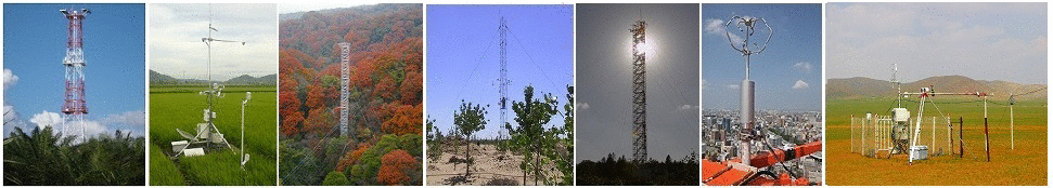
| System | Closed-path system |
|---|
| Wind speed | Three-dimensional sonic anemometer-thermometer (Wind Master, Gill) |
|---|
| Air temperature | Closed-path CO2/H2O analyzers (LI-6262, LI-COR) |
|---|
| Water vapor | Closed-path CO2/H2O analyzers (LI-6262, LI-COR) |
|---|
| CO2 | about 15m, north side ( -2001.1.15)about 15m, south-east side(2001.15-2002.2.6)14.2m south-east side (2002.2.6- 2002.9.10)18.4m south-east side (2002.9.10-2004.12.31) |
|---|
| Measurement height | about 15m, north side ( -2001.1.15)about 15m, south-east side(2001.15-2002.2.6)14.2m south-east side (2002.2.6- 2002.9.10)18.4m south-east side (2002.9.10-2004.12.31) |
|---|
| Sampling frequency | 10 Hz |
|---|
| Averaging time | 30 min |
|---|
| Data logger | NR-1000, Keyence, Japan |
|---|
| Data storage | HDD (Laptop PC) |
|---|
| Original data | Raw data |
|---|
| Observation items |
Levels/Depth |
Instrument |
| Global solar radiation(incoming) |
30m |
Radiometer (CNR1, Kipp&Zonen) |
| Global solar radiation (outgoing) |
30m |
Radiometer (CNR1, Kipp&Zonen) |
| Long-wave radiation(outgoing) |
30m |
Radiometer (CNR1, Kipp&Zonen) |
| Net radiation |
30m |
Radiometer (CNR1, Kipp&Zonen) |
| PPFD (incoming) |
30,1 m |
Quantum sensor (ML-020V, Eko, Japan) |
| PPFD (outgoing) |
30m |
Quantum sensor (ML-020V, Eko, Japan) |
| Direct / diffuse radiation |
30m |
Pyranometer (ML-020V, Eko, Japan) |
| Air temperature |
30, 10, 5 m |
Platinum resistance thermometer and capacitive hygrometer (HMP45A, Vaisala) |
| Humidity |
30, 10, 5 m |
Platinum resistance thermometer and capacitive hygrometer (HMP45A, Vaisala) |
| Soil temperature |
1, 5, 10, 20, 50 cm |
Platinum resistance thermometer |
| Soil heat flux |
2 cm (two points) |
Soil heat flux plate (MF-81, Eko, Japan) |
| Soil water content |
10cm, 50cm |
Water content reflectometer (CS615, Campbell) |
| Wind speed |
30cm |
Combined wind vane and fan anemometer (Met One, Campbell) |
| Wind direction |
30m |
Combined wind vane and fan anemometer (Met One, Campbell) |
| Precipitation |
- |
Tipping-bucket rain gauge (TE525, Campbell) |
| CO2 concentration |
30,10,5m |
Closed-path infrared gas analyzer (LI-6262, LI-COR) |
| Radiation Temperature |
- |
Infrared thermometer (IT-340, Horiba, Japan) |